Maps, journals and instruments become an interactive journey through the Great Trigonometrical Survey of India.
Eight experiences open up the history of surveying. Visitors encounter archival material, a Himalayan panorama and a projected survey network, moving from early exploration to modern mapping. A multilingual QR guide supports the journey.
Experience / 01
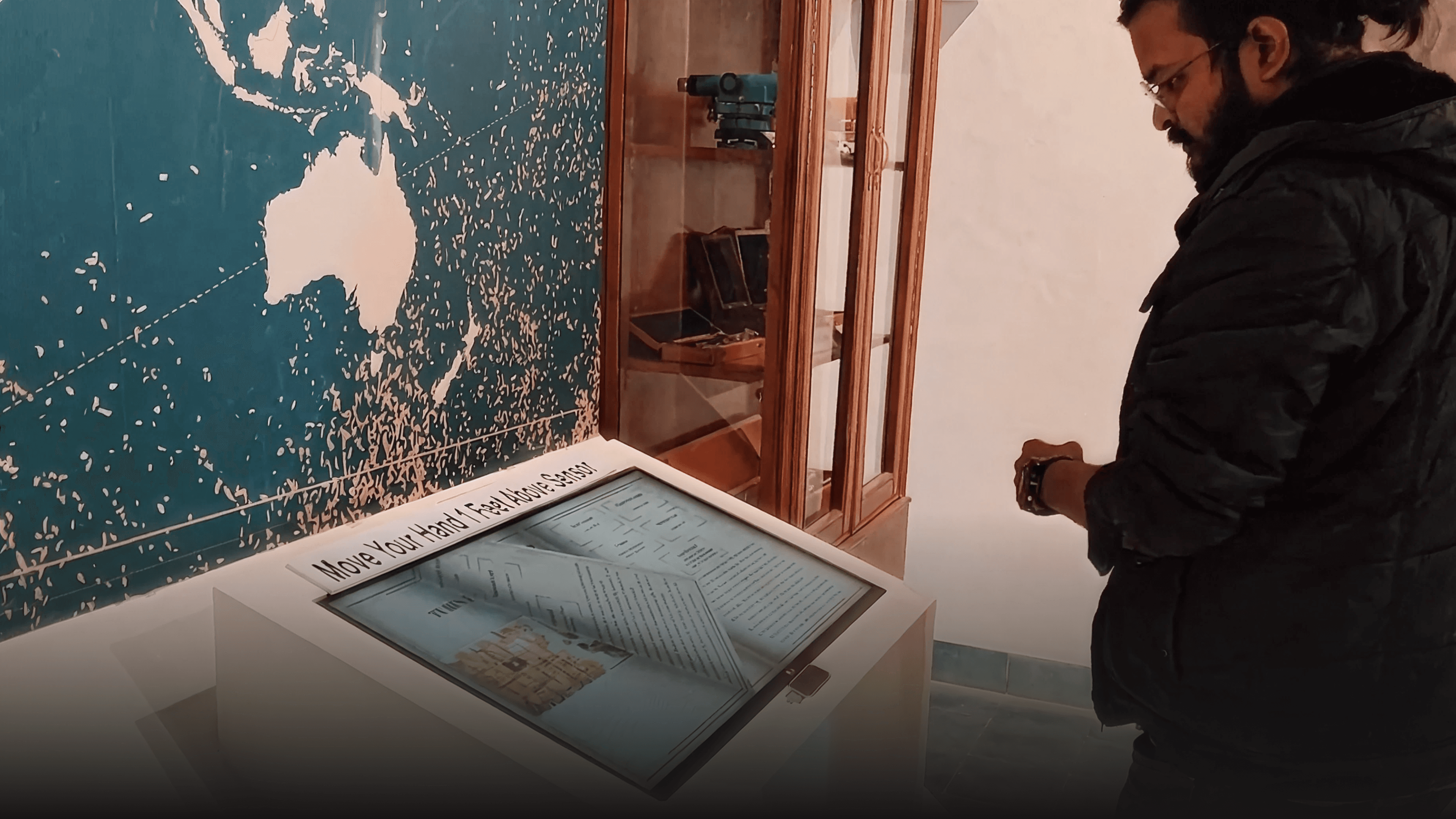
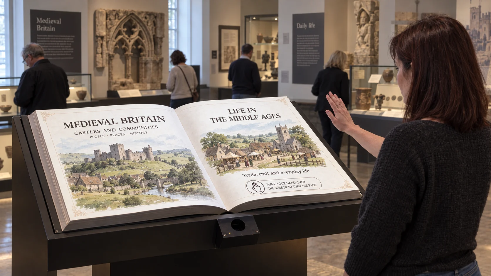
Turn the pages of exploration.
Historic maps, field journals and archival records reveal the people and expeditions behind the survey. The digital format protects fragile source material while allowing visitors to zoom into annotations, routes and details that are easy to miss in a display case.
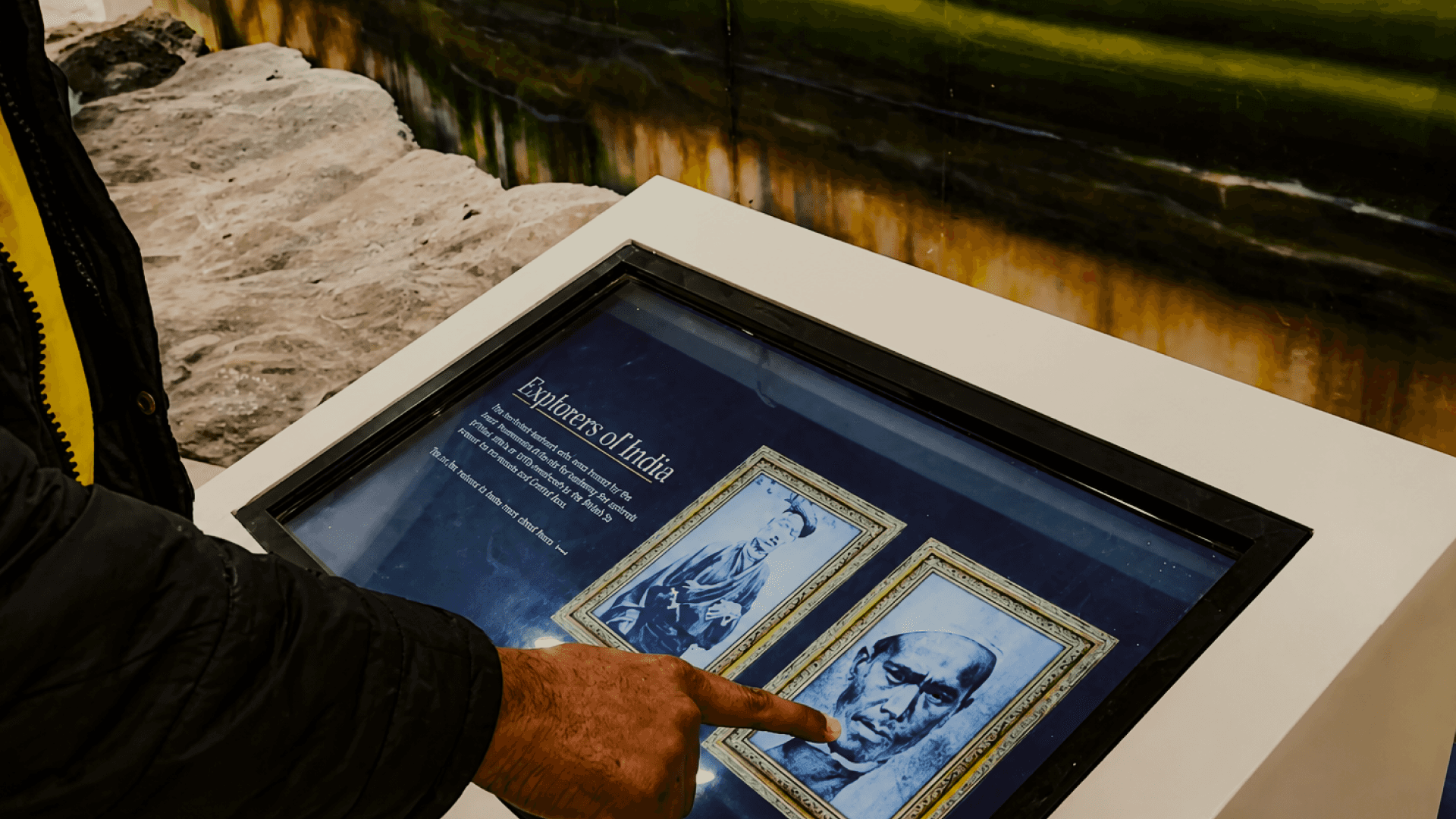
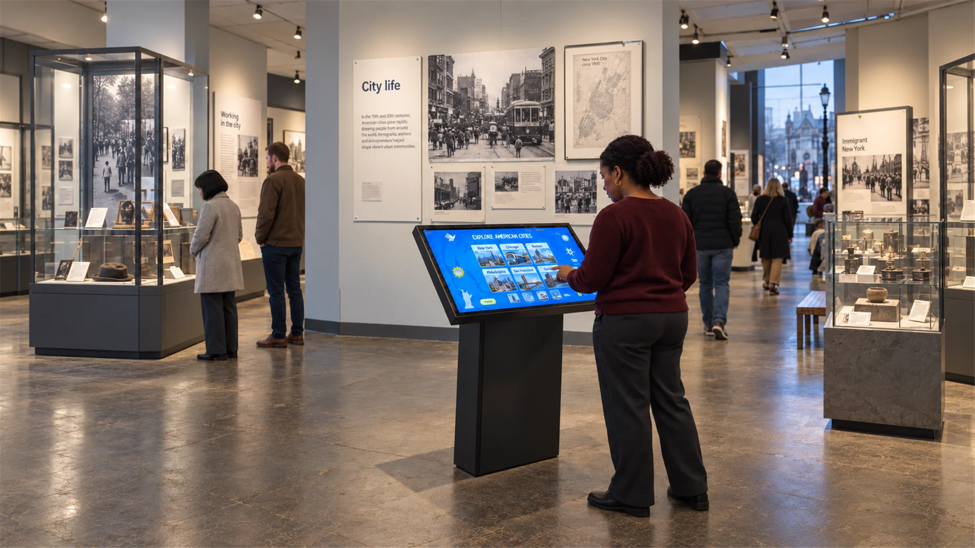
Touch kiosks let visitors explore maps, survey routes and scientific achievements at their own pace. Layered navigation connects geography with instruments, field methods and personal accounts, giving both quick browsers and curious researchers a useful path through the story.